Day 10: Little Prickley Pear Creek to Helena - 36 miles
Sean eventually emerged about 8 a.m. and we dried our tents and other gear in the sun. It was going to be a hot day. The packing was a bit of a challenge as there were grasshoppers everywhere.
After a leisurely brakfast we hit the road about 10 a.m. and headed towards the hills. Yes, just for a change we were going to start the day with a climb.
We passed a number of farms which were nestled etween the tree covered hills. At one place they were building a house which explained the number of vehicles we saw around sunset; must have been the workers returning at the end of the day.
It really is one of the strengths of the route that there are so few vehicles on the roads and we hardly saw any for most of the day. It has also been relatively well planned and documented. I say relatiavely because today it was *not* well documented and this caused us no end of discomfort.
Instead of heading straight on we mistakenly turned right which led us up this hill. Initially, it wasn't too bad and we passed a number of cabins. One really wonders about who would live so far out back of beyond, especially when in winter it must require a snowmobile to get around.
The road gradually steppened and deteriorated. In fact, it ceaased to be a road and was a track with large rocks, some the size of bricks, strategically placed to cause the maximum discomfort. With grades approaching 12% in places it was not fun and it got to the stage where in the lowest gear the wheels would spin so it was time to push. And push. And push. With our feet slipping on the rocks it was not fun. In fact, Sean began to roundly abuse the route planner and guide book for not warning us about this. The photo below doesn't do justice to the route's difficulty.
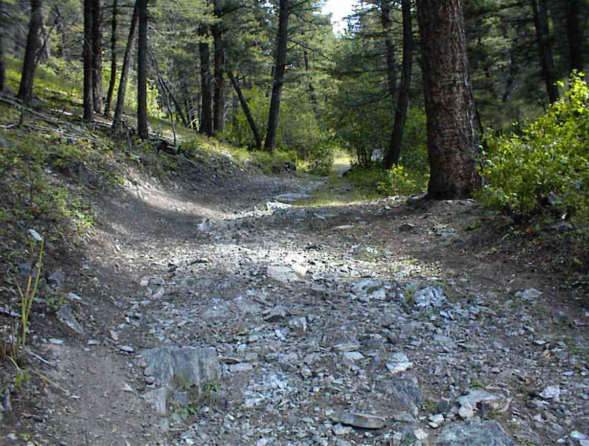
When we stopped for a rest I looked closely at the map and concluded that we had taken a wrong turn. Sean said that he didn't care and there was no way he was going back so we went on. Unfortunately, there was at least another mile of huffing and puffing up the trail. Glad it wasn't me who made the decision.
At a clearing we stopped for a break. Sean and I are so different. He sits in the shade to cool down; I stand in the sun to stay warm. There were a number of ruined cabins around.
I heard the sound of a motor and a fellow drove up on a 4x4 farm bike. I waved him down and asked him to confirm the way to the pass. He confirmed the route and said that it was only 3+ miles. Great. That was all we needed to hear as we were stonkered, and we had only come 6 miles!
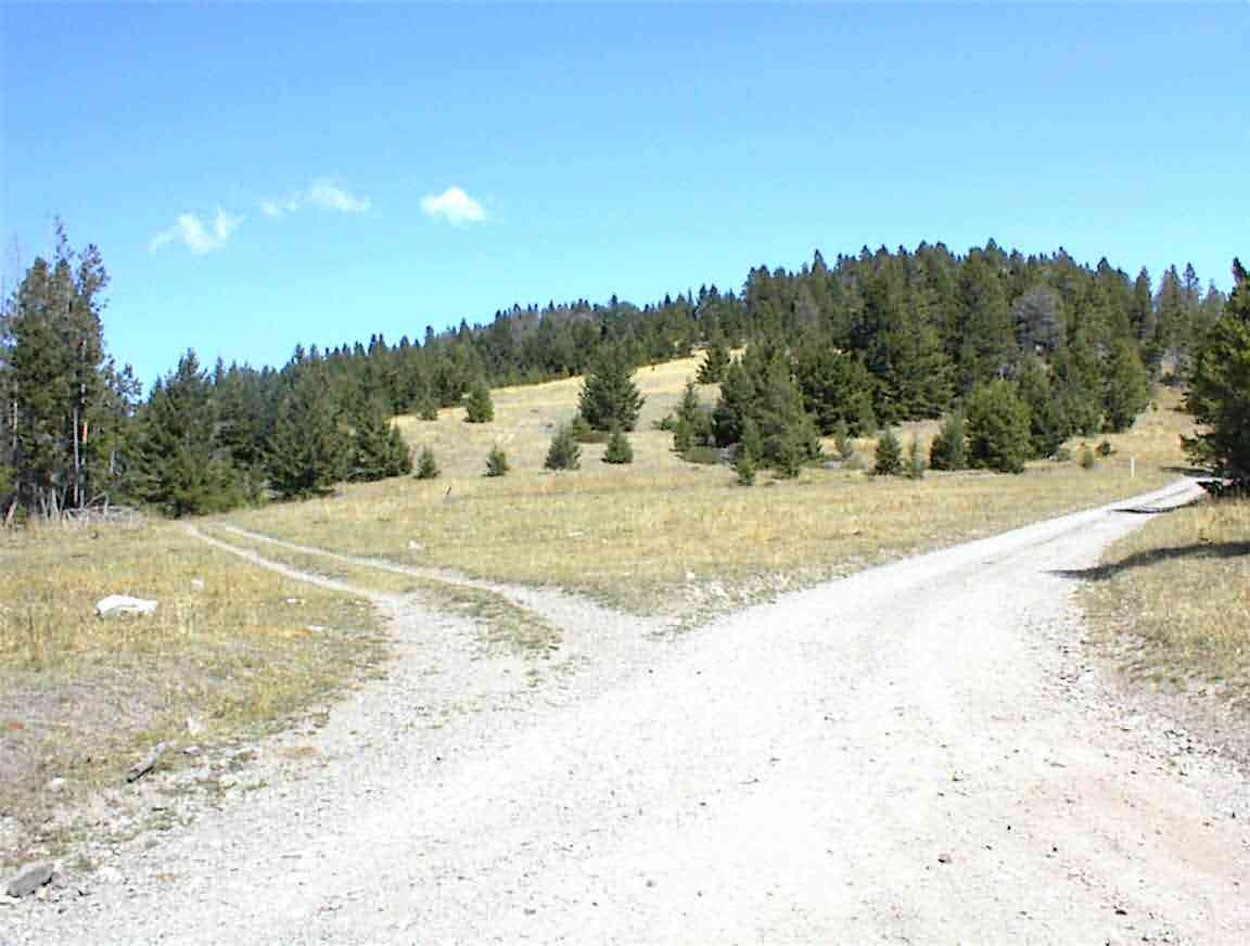
Anyway, it was on the bikes and we headed up and down towards our continental divide crossing #2. It was at the intersection below, but we didn't realise it for some time. There were a number of roads crossing and after referring to the map and a bit of guesswork we managed to establish where we were. Sean noted that it was a lot like orienteering, although I observed that when orienteering you at least have a topographic map.
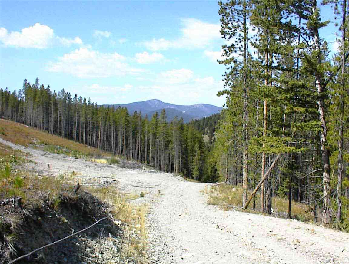
While Sean rested (in the shade) I went for a walk (in the sun) and found a side road which confirmed the way for us. It was then downhill on a fairly rough road past old mine workings at Dago Gultch. The area was not particularly attractive as there was a lot of clear cutting of the trees, with cattle seeming to hold dominion these days. I scared quite a few of them hooning downhill.
At Dog Creek we turned off and headed uphill towards our second crossing of the day. This took us through a variety of terrain ranging from trees to fields with cattle grazing. As always, the mountains in the distance showed what we would be crossing.
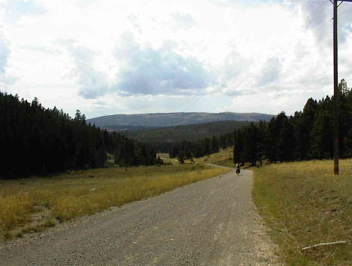
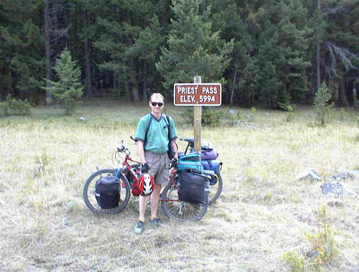
After a long series of uphill and downhill runs, we ascended the final 2.5 miles to Priest Pass which was our third crossing of the Continental Divide. It was very difficult getting there, and we still had 20 miles to go to Helena.
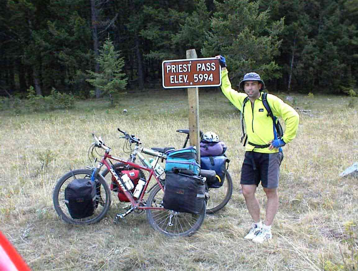
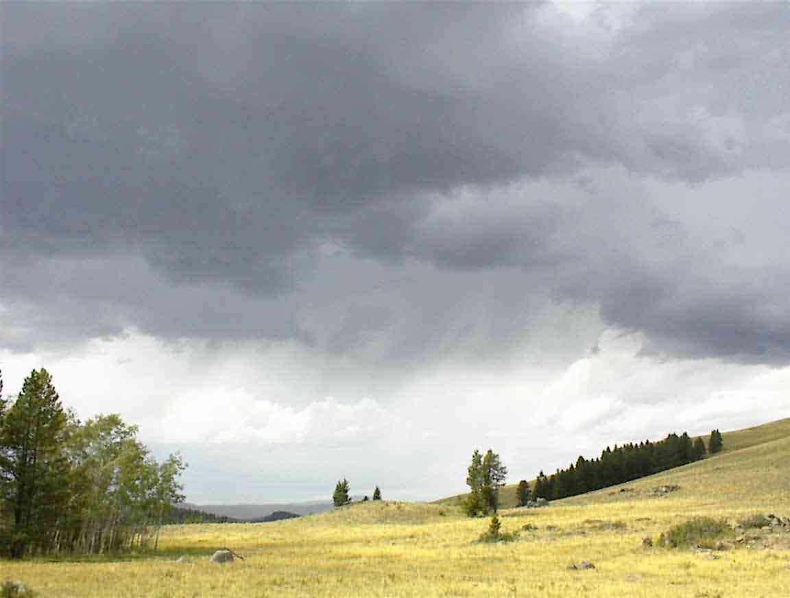
After the photos above were taken the skies darkened and it looked like rain. This catalised us to action and we headed downhill. That is always one of the advantages to crossing a mountain - there is a great downhill afterwards.
The road was unfortunately covered with loose gravel and it was difficult holding on the road so at the curves it was necessary to hit the brakes and get the speed down, before accelerating again to the next curve. It was interesting to monitor my heart. It got up to 92 bpm compared to 80 bpm on straights with no curves.
Like all good things the run came to an end and we eventually ended up at Highway 12. This was a very busy road but it fortunately had a wide shoulder. It was 7 miles to Helena and it was downhill all the way! We were quite exhausted so it was a good thing. After the 50 mile run yesterday and the two crossings today no wonder we were tired.
When we got to Helena we found our way downtown. Sean was not feeling well so while he rested I went to the tourist information centre. I found a hotel in town and went back to collect Sean. We checked into a hotel and I sent my e-mails and loaded my web. After washing off the detritus of the last few days it was into town to try and find something to eat.
As we went searching for a restaurant we had an interesting experience. Although Helena has 25,000+ inhabitants, the place was deserted. I commented to Sean that it was like a science fiction film where all the people have been transported elsewhere. It was not the hour of day either; it was like that at 4:30 p.m. and it was a Thursday!
We walked up our road -- Last Chance Gultch -- and it turned into a pedestrian mall. A great location to find eateries right? Wrong. We only found a couple which looked to be more saloons than restaurants. At the end of the mall was some entertainment - the police were chatting to 4 young people, with about 20 others looking on. Sean said that it looked like a sit in.
The park where this was happening had a large ship's propellor and anchor which I thought was a bit out of place in Montana so we went over and had a look. It was in honour of the USS Helena which was a naval warship. There were 4 of them over the last century, ranging from a gunship used in the Spanish-American war to a nuclear submarine currently stationed in the Pacific.
We headed back towards the hotel and had dinner at 'Bert and Earnies'. It was a very American restaurant and Sean found it most interesting. The meal was huge but delicious. We rolled back to the hotel to finish our laundry and watch some TV.